GENERAL DESCRIPTION
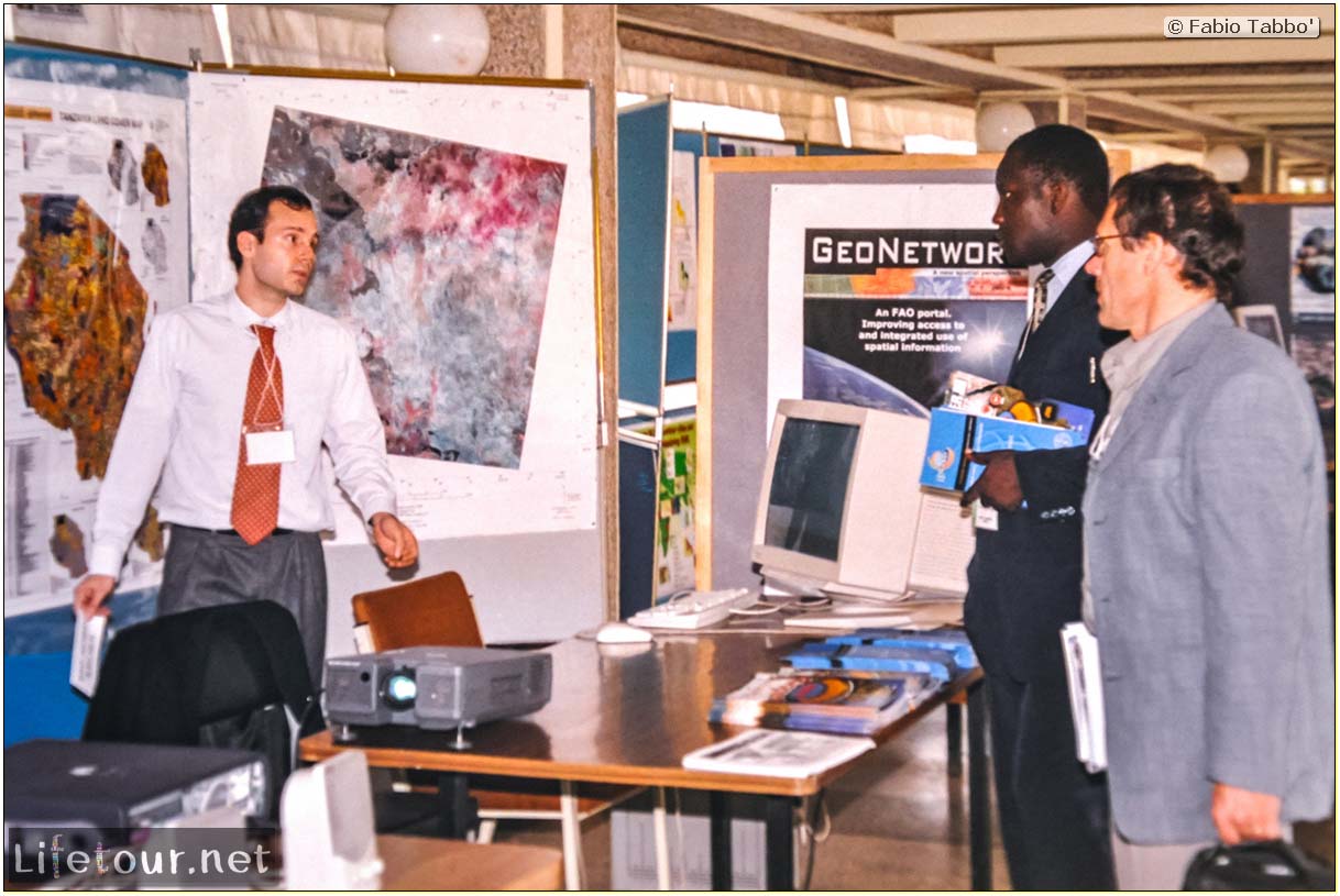
Africover is a United Nations project which collects and collates geographical information on Africa using satellites. It gathers information on land cover, land use and other GIS data. One major usage of this system has been to provide flood warnings to governments and NGOs, who then pass the information onto farmers.
FABIO'S REVIEW
Coming soon!
PICTURES
MAP
VIDEOS
Check out my YouTube page for all videos!
RESOURCES
This section is currently under construction.
SHARE THIS PAGE
0 Comments

